Project Summary
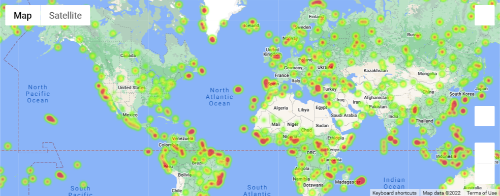
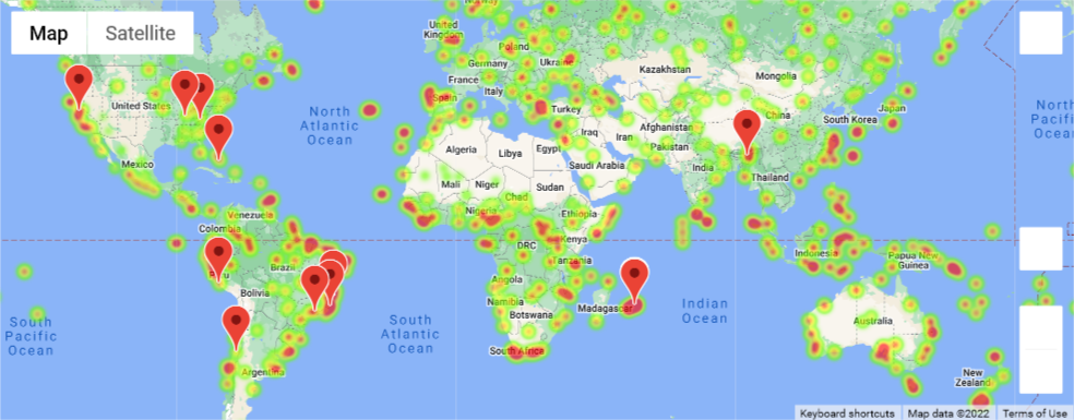
The purpose of this project was to analyze how real weather can be correlated to various inputs, including latitude, humidity, and wind. Data was based on approximately 600 cities that were the closest points to randomly-generated latitude / longitude coordinates. No cities are repeated.
It should be noted here that the original lat/lng combinations would appear roughly evenly distributed on a Mercator projection, but on a globe, this would favor cities nearer the north and south poles. Furthermore, since it finds the nearest city, and 3/4ths of the world is ocean, actual selected cities will favor coastal locations.
If you would like to see more about this project, feel free to check out the code at my GitHub project.
Visualisations
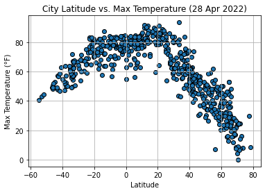
Latitude vs. Temp
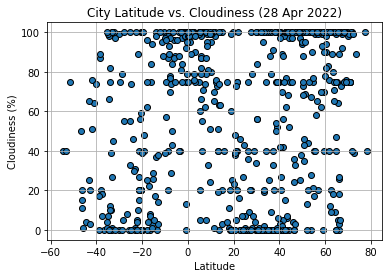
Latitude vs. Clouds
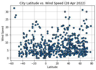
Latitude vs. Wind
Mapped Data